Services
Data Collection
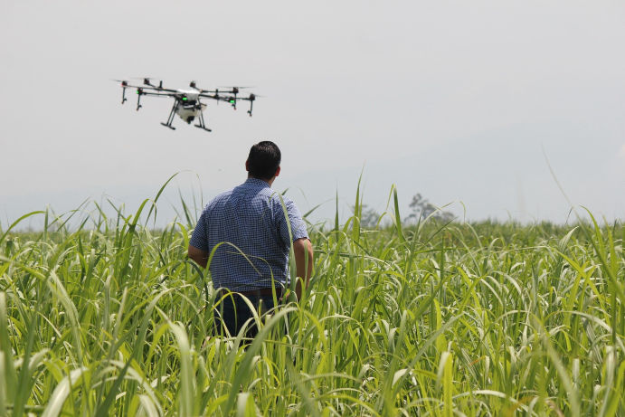
Drone & Satellite Acquisition
We provide a one-step solution from image collection to data discovery. Our data processing tool-kits support a wide range of data inputs.

Data Analysis
Feature Detection & Plant Analysis
Listen. Learn. Leverage.
We establish foundational maps and plot boundaries based on client data expectations and an easy to use web portal.
Custom Support
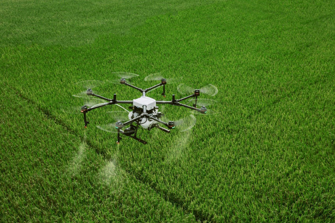
Targeted Spray Solutions
We provide digital plant solutions.
Our “Listen. Learn. Leverage” leverage approach allows our clients to maximize their return on data investment.